I have been posting a series of tutorials on how to build an autonomous drone. This time I am writing about Using SLAM In GPS Denied Environment For Position Estimation.
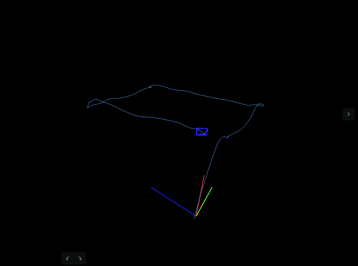
Position History Tracked by SLAM, with GPS turned off
Position History Tracked by SLAM, with GPS turned off
If this is your first time attempting this tutorial, please start from the very beginning so you have all the right dependencies.
Download the framework at this GitHub repo
Episode 1: OFFBOARD mode and Gazebo simulation
Episode 2: Build a 3D Model with Your Drone
Everything I used is based on this GitHub project GAAS, which I built from scratch. I meant to provide an open source framework for autonomous drone development. Give me a star on GitHub if you find this helpful ![]()