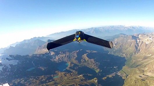
Sensefly have recently mapped the 4500m tall matterhorn using multiple drones! Pretty cool stuff showing multiple UAVs working together to build a very big map! According to sensefly you can use up to 10 on a single ground station! They are also smart enough to avoid crashing into one-another
Another interesting feature is how the 3D flight planning created waypoints based on elevation of the ground, not sure if this is just using google map data (like we use with ardupilot mega) or something a bit more fancy?
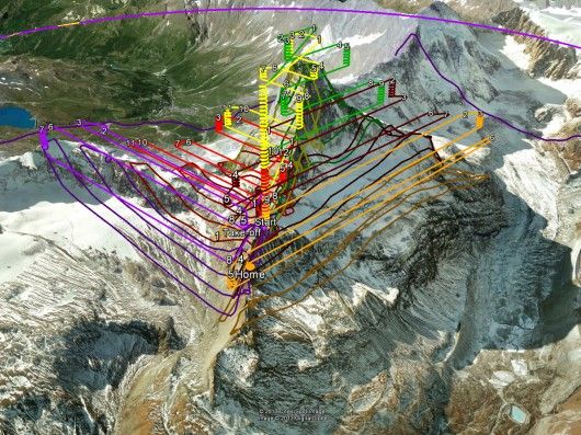
All in all the map was created with 2,188 photos, an HD point-cloud with 3 million datapoints, and an average resolution of 20 cm (8 in). You can see the 3D map here
The video below shows the whole process
